Planet Labs has temporarily restricted access to new satellite imagery over specific Middle Eastern conflict zones, including the Gulf States, Iraq, and Kuwait, imposing a 96-hour delay for most users. This policy is a response to the ongoing regional war and aims to prevent adversarial actors, like Iran, from using the data for real-time battle damage assessment. Authorized government users, however, retain immediate access for mission-critical operations.
The main topics covered are the commercial satellite imagery restriction, the specific regions and delay period affected, the rationale behind the policy to deny tactical advantages, and the exemption for government users.
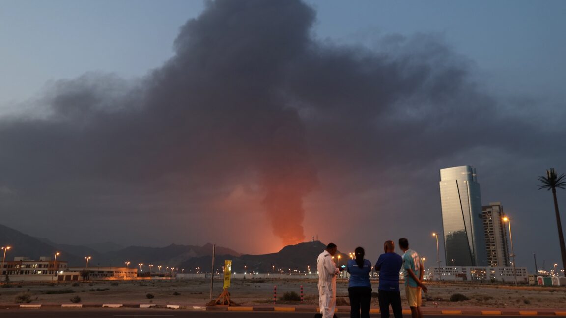
Planet Labs, one of the world’s leading commercial satellite imaging companies, said Friday it is placing a hold on releasing imagery of some parts of the Middle East as a regional war enters its second week.
The company, which brands itself as Planet, operates a fleet of several hundred Earth-imaging satellites designed to record views of every landmass on Earth at least once per day. Its customers include think tanks, NGOs, academic institutions, news media, and commercial users in the agriculture, forestry, and energy industries, among others.
Planet also holds lucrative contracts selling overhead imagery to the US military and US government intelligence agencies.
“In response to the conflict in the Middle East, Planet is implementing temporary restrictions on data access within specific areas of the affected region,” Planet said in a statement emailed to Ars. “Effective immediately, all new imagery collected over the Gulf States, Iraq, Kuwait, and adjacent conflict zones will be subject to a mandatory 96-hour delay before it is made available in our archive.”
Imagery over Iran will remain available as soon as it is acquired, the company said. “This change applies to all users except authorized government users who maintain immediate access for mission-critical operations.”
Overhead intelligence
In the last few days, Planet’s satellite imagery showed the aftermath of Iranian missile and drone strikes on US and allied bases in the region, including damage to the US Fifth Fleet headquarters in Bahrain and to a $1 billion US-built early warning radar in Qatar used for tracking incoming projectiles. Planet said it wants to prevent “adversarial actors” from using its data for “Battle Damage Assessment (BDA)” purposes. In other words, the company doesn’t want to help Iran’s military know where it succeeded and where it failed.